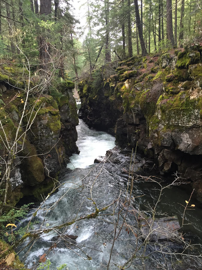
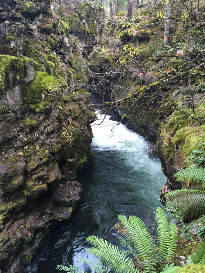
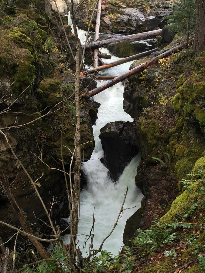
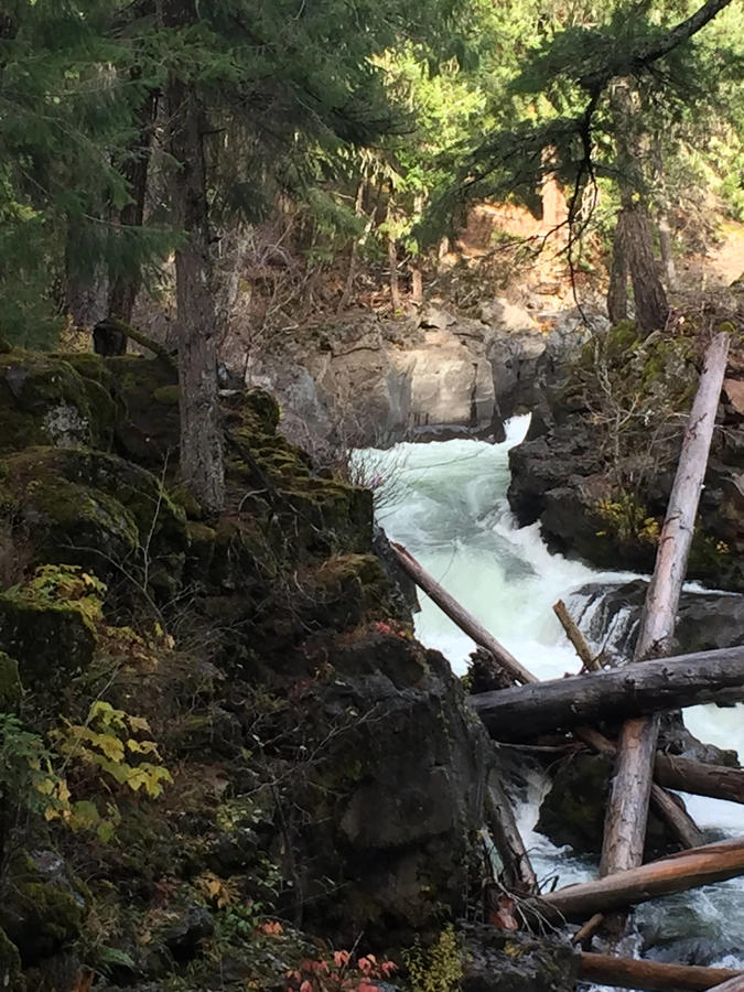
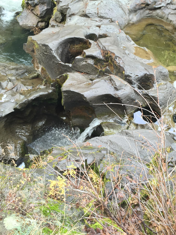
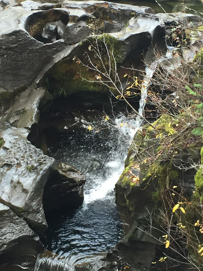
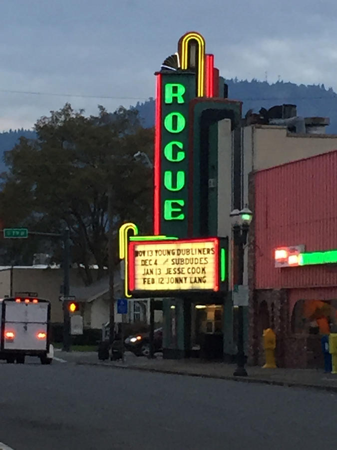
Took a quick little road trip this weekend to Grants Pass Oregon. Not somewhere we'd normally go. We went to see a concert, the Young Dubliners a Celtic rock group. When we road trip we stop and check things out so a 3 hour drive usually takes us 6-12 hours. This trip was no different. On our way we stopped at Crater lake. It had been several years since I was there and my hadn't been since she was 6 years old. Right now is the perfect time to visit Crater Lake as there is usually snow which adds to the beauty and there also isn't as many people. Our route into Crater lake took us past Fort Klamath. Fort Kalmath is famous for the hangings of Capt Jack and two other Native Americans at the culmination of the Modoc War. After Crater Lake our travels took us along the Rogue River. The Rogue is extremely scenic and know for its Steelhead and Salmon fisheries. Enough talk on to the photos!
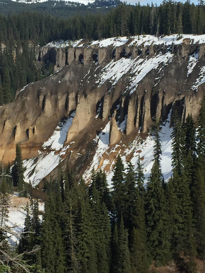
Pillars formed during the cataclysmic eruption of Mount Mazama, which formed Crater Lake, Oregon. Volcanic gasses rose through layers of dacite pumice and andesite scoria in vents known as fumaroles. With temperatures of 750 degrees Fahrenheit (400 Celsius), the hot gasses welded the sides of the fumaroles. After erosion carried away the rest of the pumice and scoria, these hardened fossil fumaroles were all that remained.
Wizard Island s a volcanic cinder cone which forms an island at the west end of Crater Lake in Crater Lake National Park, Oregon. The top of the island reaches 6,933 feet (2,113 m) above sea level, about 755 feet (230 m) above the average surface of the lake. The cone is capped by a volcanic crater about 500 feet (150 m) wide and 100 feet (30 m) deep. The crater was named the "Witches Cauldron" by Will G. Steel in 1885, who also gave Wizard Island its name at the same time.[sup][5][/sup] The land area of the island is 315.85 acres (127.82 ha) (Wikipedia)
Looking East and South. The lake is too big to snap a good shot with an iPhone!
Stone viewpoint. It was closed due to the snow. It's one of the best vantage points of the lake.
Information Center - Closed for winter. I didn't get a photo of the main gift shop info center, which is open as long as the park is open.
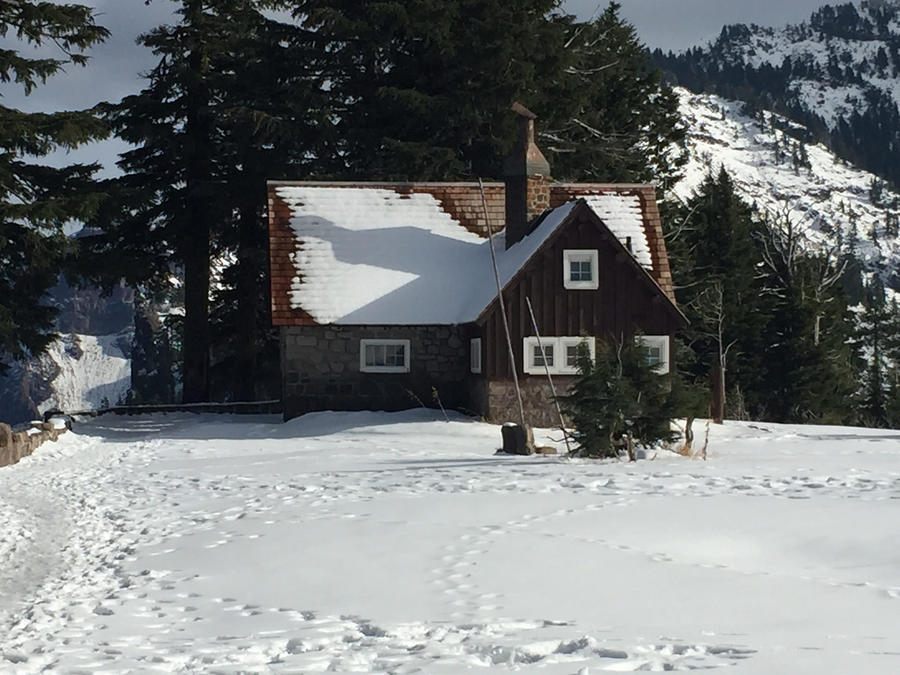
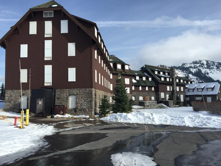
Lodge all buttoned up for winter. A few years back they did a major renovation and the interior is incredible. To stay you usually need to book out two years in advance.
That wraps up stage one of the trip. I will post some more photos later today of the other intriguing things we saw.
Pillars formed during the cataclysmic eruption of Mount Mazama, which formed Crater Lake, Oregon. Volcanic gasses rose through layers of dacite pumice and andesite scoria in vents known as fumaroles. With temperatures of 750 degrees Fahrenheit (400 Celsius), the hot gasses welded the sides of the fumaroles. After erosion carried away the rest of the pumice and scoria, these hardened fossil fumaroles were all that remained.
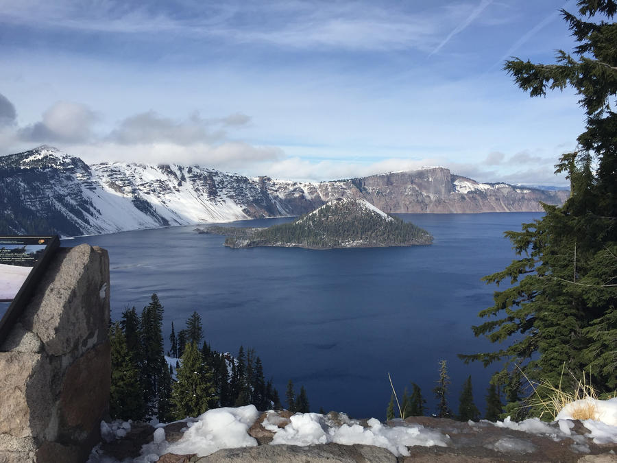
Wizard Island s a volcanic cinder cone which forms an island at the west end of Crater Lake in Crater Lake National Park, Oregon. The top of the island reaches 6,933 feet (2,113 m) above sea level, about 755 feet (230 m) above the average surface of the lake. The cone is capped by a volcanic crater about 500 feet (150 m) wide and 100 feet (30 m) deep. The crater was named the "Witches Cauldron" by Will G. Steel in 1885, who also gave Wizard Island its name at the same time.[sup][5][/sup] The land area of the island is 315.85 acres (127.82 ha) (Wikipedia)
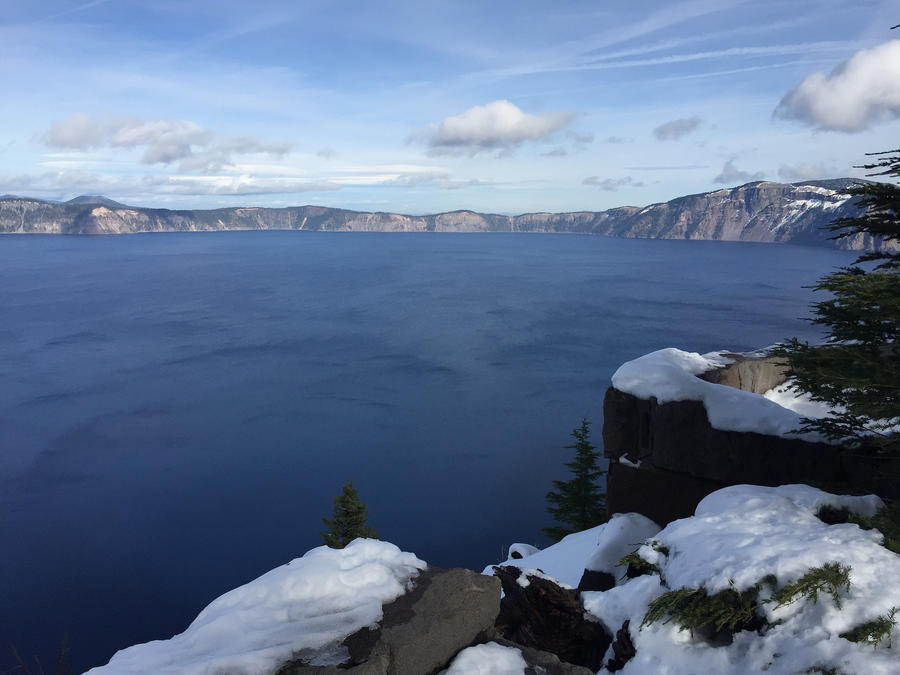
Looking East and South. The lake is too big to snap a good shot with an iPhone!
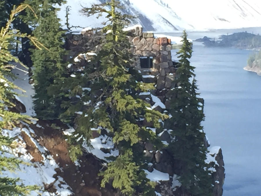
Stone viewpoint. It was closed due to the snow. It's one of the best vantage points of the lake.
Information Center - Closed for winter. I didn't get a photo of the main gift shop info center, which is open as long as the park is open.
Lodge all buttoned up for winter. A few years back they did a major renovation and the interior is incredible. To stay you usually need to book out two years in advance.
That wraps up stage one of the trip. I will post some more photos later today of the other intriguing things we saw.